Thirteen Villages & One Goal... Newton Highlands
|
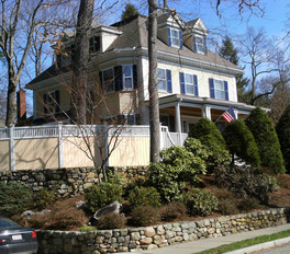
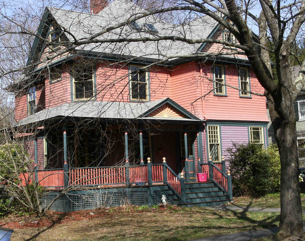
The heart of Newton Highlands, roughly the area bounded by Woodward Street on the west, Route 9 (Boylston Steet) on the south, Hyde Street on the east, and Beacon Street on the north, retains a substantial number of the lovely, historically-significant Victorian homes—most on lots zoned SR2— that give this village the air of a more gracious and leisurely age.
|
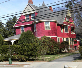
Newton Highlands House. Photo, NVA.
|
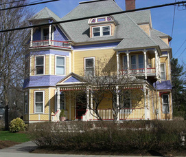
Newton Highlands House. Photo, NVA.
|
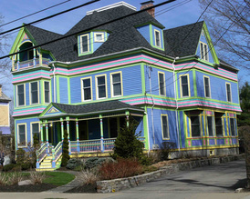
Newton Highlands House. Photo, NVA.
|
Newton Highlands House. Photo, NVA.
|
Newton Highlands House. Photo, NVA.
|
However, Newton Highlands also extends for more than a mile south of Route 9 (Boylston Street) and the MBTA’s Green Line, an area in which the highlands become mostly lowlands, and many of the house lots are smaller, zoned SR3.
|
The village center, located on several blocks along the eastern end of Lincoln Street and along Walnut Street between Centre Street and Lake Avenue, contains an appealingly eclectic variety of shops, restaurants, and services. Two of the commercial buildings in the center, the Stevens Building and the Patterson Block (which overlooks Rodney Barker Square), date from 1888 and 1893, respetively, and are well-preserved.
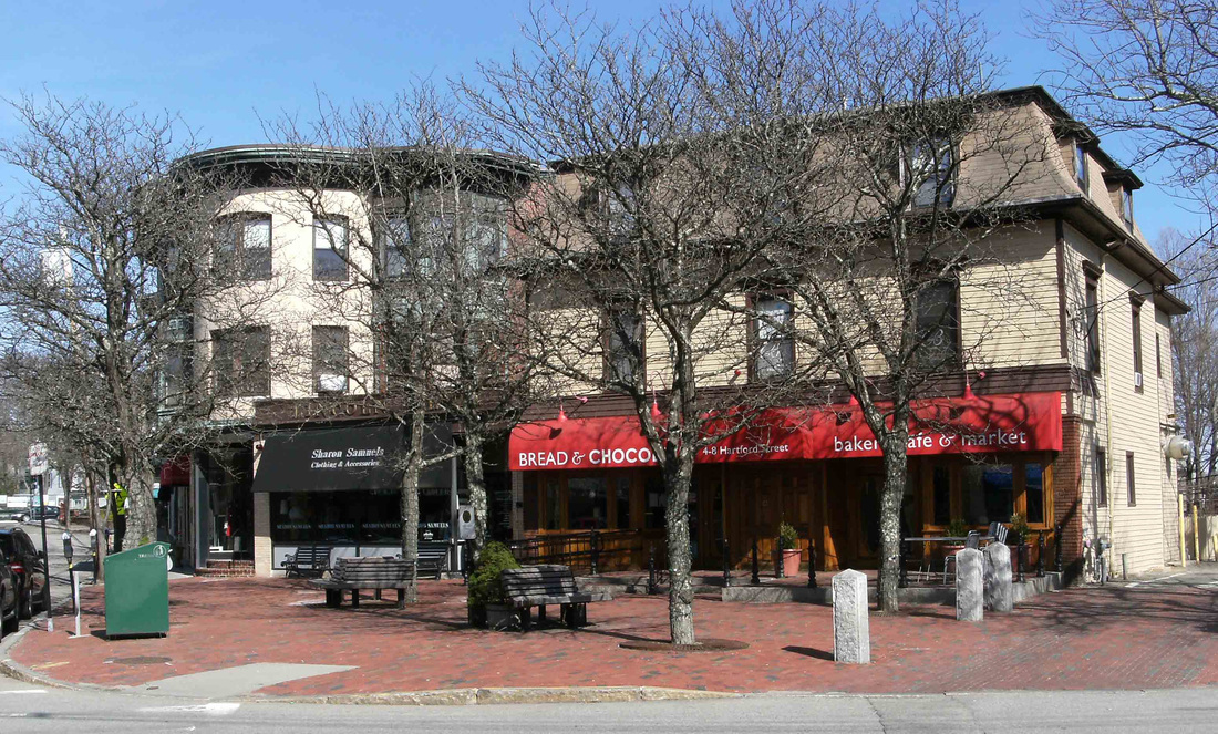
Patterson Block Overlooking Rodney Barker Square. Photo, NVA.
The village is served by the Newton Highlands Riverside Line T stop and bus stops for the Nos. 52 and 59 MBTA buses that connect to Dedham, Needham, and Watertown.
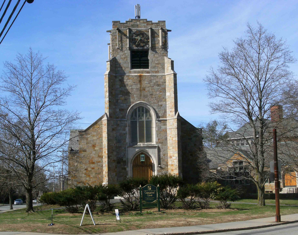
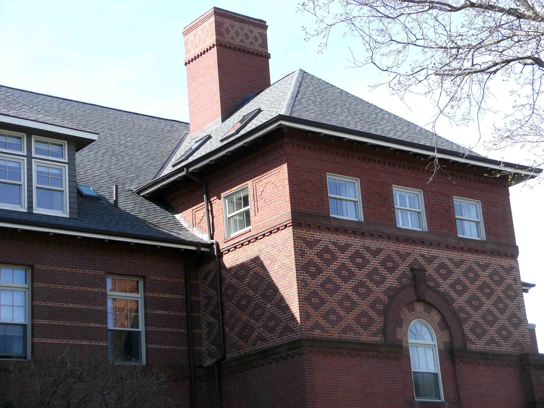
Highlands Congregational Church. Photo, NVA.
|

Stevens Building, Lincoln Street. Photo, NVA.
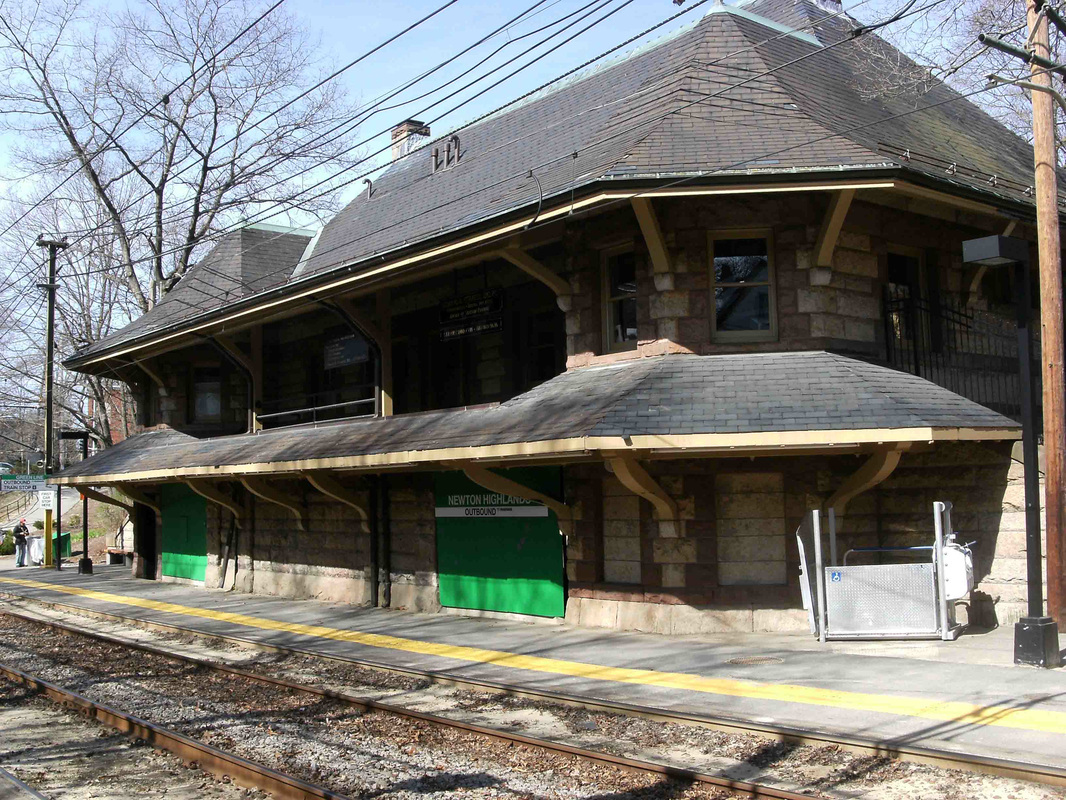
H.H. Richardson-designed Newton Highlands Station. Photo, NVA.
Former Hyde School. Photo, NVA.
|
Also in the village center are such community-oriented buildings as the Hyde Center, Brigham House, and the Women’s Club. The entire village benefits as well from the work of the very active Newton Highlands Neighborhood Area Council.
Challenges Facing Newton Highlands Include:
Challenges Facing Newton Highlands Include:
- Pressures created by the conflicting parking needs in and near the village center of residents, shoppers who need easy access to short-term parking, and the business workforce and commuters seeking to park their cars for much of the day while working locally or traveling to work on the Green Line
- Pressure from developers to increase density in those areas of the village center zoned MR1, especially where there are currently single-family houses on such lots. See for example the recently-approved expansion of 320 Lake Avenue that nearly doubles the size of the building and increases the number of occupants allowed
- Pressure from developers, particularly in the neighborhood south of Route 9 where the lots are zoned SR3, to be allowed to demolish existing relatively affordable homes and replace them with much larger and significantly more expensive houses
- Pressure from developers and some City officials to allow infill development in long-established neighborhoods, thereby increasing density and diminishing green space
- Pressure from increasingly heavy traffic congestion on Walnut Street, Centre Street and Needham Street as a result of commercial and residential development in the Needham Street corridor that has replaced its former lower intensity manufacturing land uses
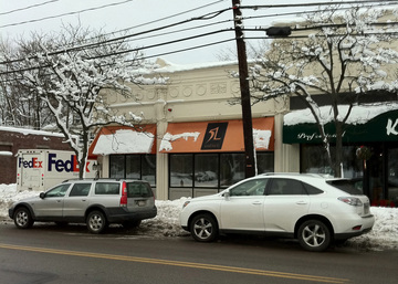
Parking on Lincoln Street
|
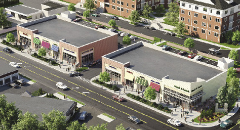
Recent Residential and Commercial Development on Needham Street
|